MyBookBandits

Untitled

A picture atlas that takes young readers on a visual journey around the world.
Reading guide
This is Volume 1 in the series.
Explore the world continent by continent through engaging maps, photographs, and picture stories that highlight climate, population, landmarks, and natural wonders.

Description

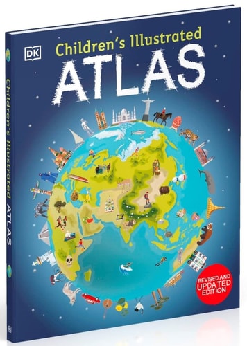
The Children's Illustrated Atlas series invites young explorers on a fact-filled, continent-by-continent tour of our incredible planet. Packed with more than 50 vibrant maps, each page reveals the climate, populations, places, and industries that shape countries from Spain and Portugal to China and Mongolia. Picture stories bring regions to life, from the giant river winding through the Amazon forest to the frozen icebergs of the glacial Arctic, helping children discover the richness and diversity of both human and animal life worldwide.

This educational children's atlas goes beyond a simple map book. It is designed to teach essential map-reading skills such as using a key, compass, and scale, making it an ideal resource for classroom use, home learning, or armchair exploration. With stunning photography, fresh illustrations, and intriguing facts, the series turns geography into an adventure, encouraging curiosity about lands close to home and oceans far away.

Community discussion

View all 0 topics
No discussions yet. Start one.

Recommended series

Based on genres, tags, themes and author